Equal Earth projection map
by Evira: Viral Content
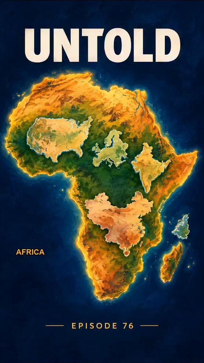
The Equal Earth projection is scheduled for 2026 and it changes how we see the scale of continents by showing Africa larger than the US, Europe, and India
Transcript (en)
Africa is big enough to hold the United States, China, India, and the entire European Union inside it all at once, with room left over. Your map has been hiding that for 457 years. Last Friday, 164 countries voted to stop it. In 1569, a Flemish mapmaker named Gerardus Mercador drew a map for sailors. It let a ship hold a straight line across an ocean, without touching the compass. For navigation, it was brilliant. But for everything else, it was broken. To keep those lines straight, Mercator had to stretch the land near the poles and squeeze the land near the equator. So Greenland swells until it looks like a continent, while India, which is half again as large as Greenland, somehow looks smaller than it. That map went into classrooms, into newsrooms, and into every phone on Earth. Whole generations grew up seeing the global south, drawn small, and almost nobody thought to question. On September 4, 2026, the UN General Assembly passed the Correct the Map resolution, pushed by African Union states and led by Togo. It backs the Equal Earth projection, built in 2018, which draws every landmass at its true size. 164 countries voted yes, six abstained, one country voted no, and that country was the United States. The resolution is not binding, but France has already announced it is dropping Mercator. Africa did not grow. It was finally drawn, that's the untold third.