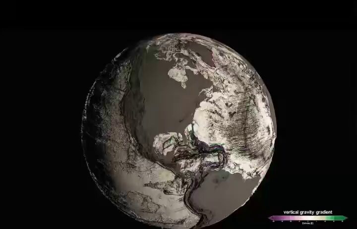
NASA ocean floor gravity map
by Brokenboba: NASA
NASA used gravity data from space to map the entire ocean floor.
Transcript (en)
We've known Mars in more detail than our own ocean floor, until now. NASA's SWAT satellite used vertical gravity gradients to reveal the most accurate seafloor map ever created, exposing hidden mountain ranges, deep trenches, and geological features that have never been seen before. We live on a planet we're still discovering. Drop a comment. What do you think we'll find hidden on the ocean floor?