
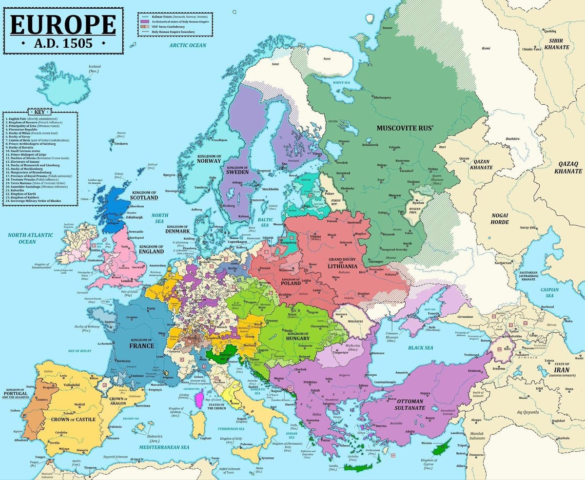
@taikiIs 1505 actually the right year for Europe
View original post@taikiIs 1505 actually the right year for Europe
View original postPhoto by @taiki· Oct 15, 2026· History
The image is a historical map of Europe in A.D. 1505. It displays various kingdoms, duchies, and khanates with different colored borders and labels. The map includes a key to identify different political entities and geographical features like oceans and seas. The overall style is informative and educational, resembling a textbook illustration. A notable detail is the extensive territory of the Ottoman Sultanate and Muscovite Rus'. The title "EUROPE • A.D. 1505 •" is prominently displayed at the top.
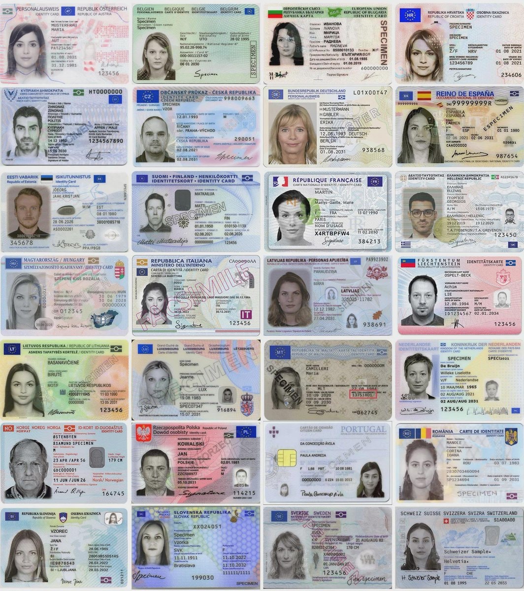 EEA identity cards compared
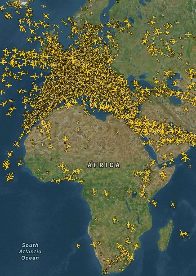 Europe vs Africa air traffic comparison
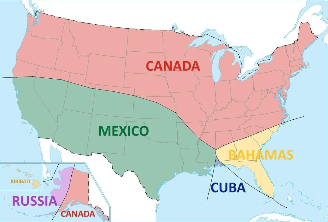 nearest country to the U.S.
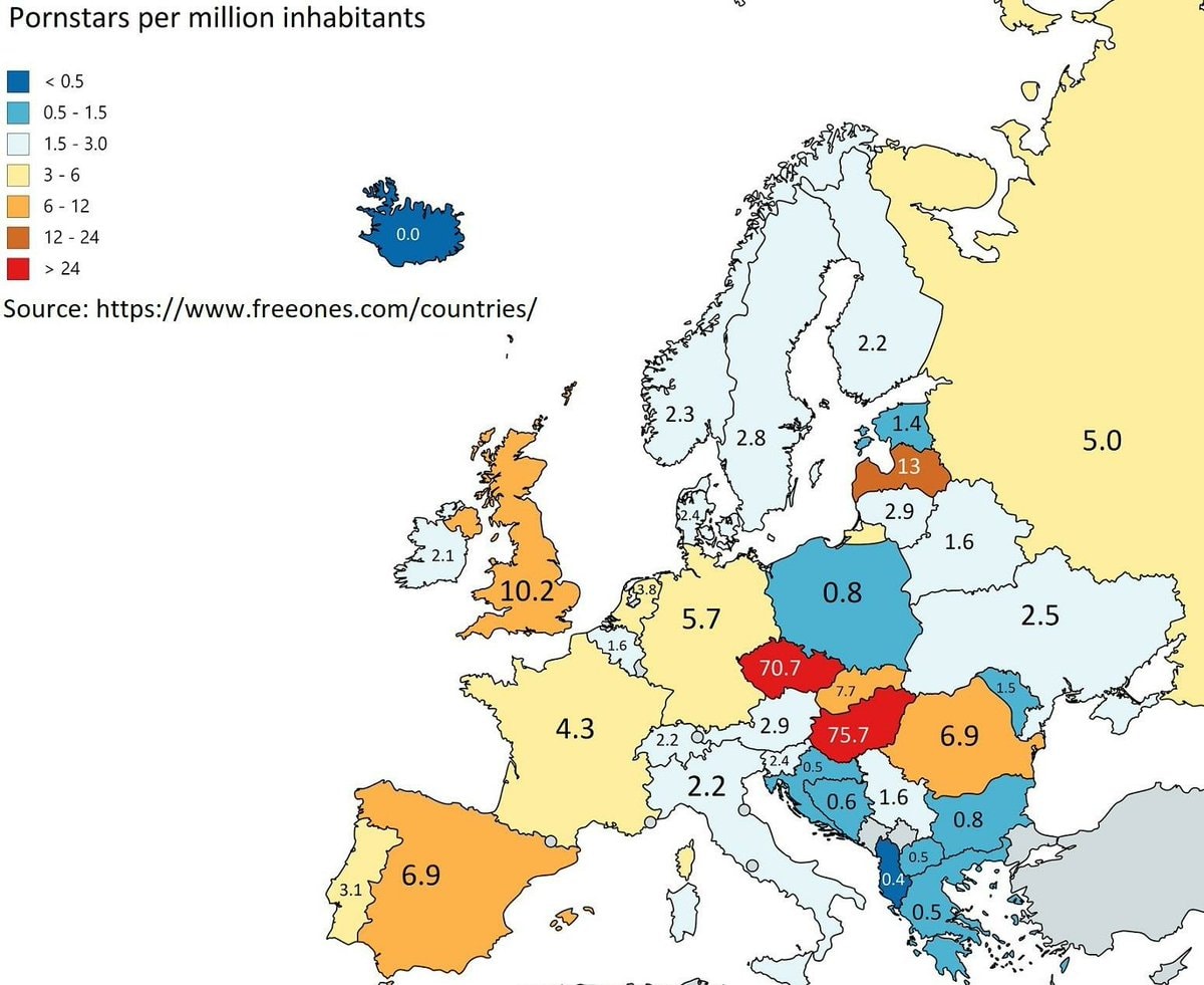 Pornstars per million inhabitants in Europe
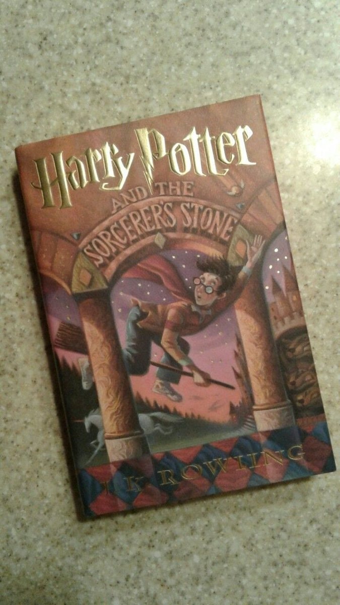 2Harry Potter and the Sorcerer's Stone sales data
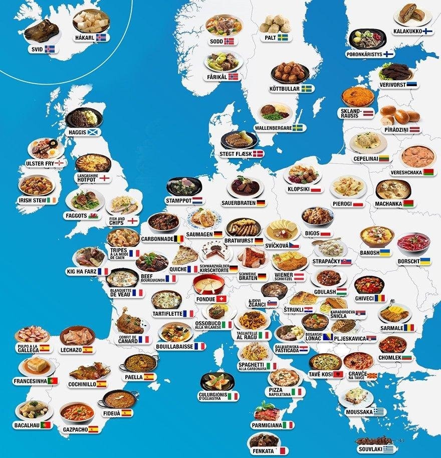 famous foods across Europe
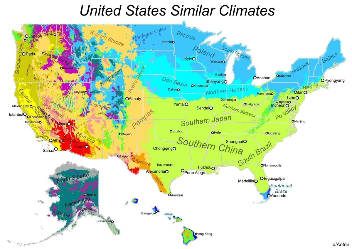 US climate match map
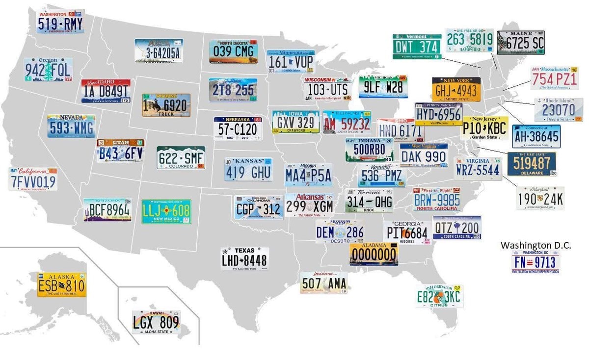 Ugliest license plate in America
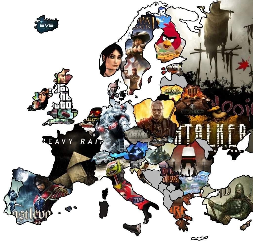 Europe video game map based on development country
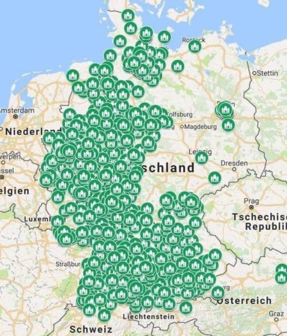 2Mosques in Germany vs Churches in Saudi Arabia
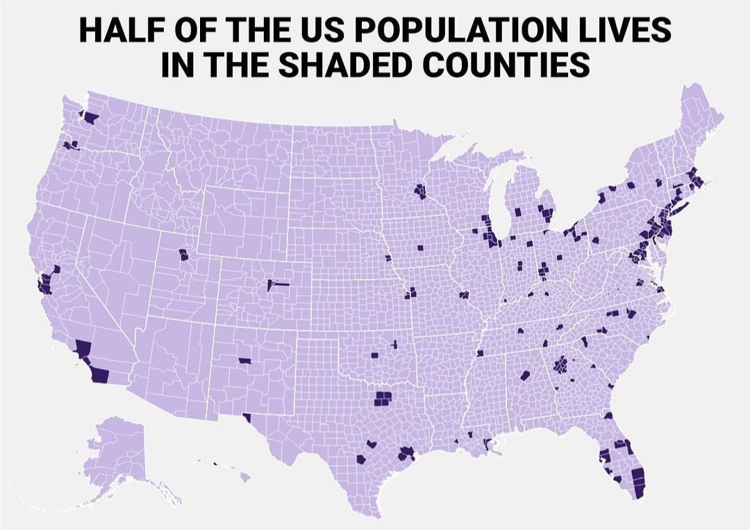 us population distribution by counties
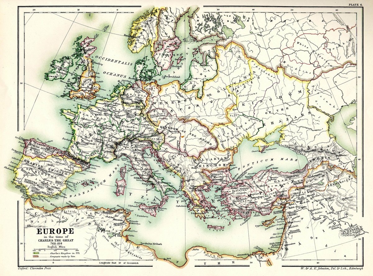 Charles the Great Europe 768-814
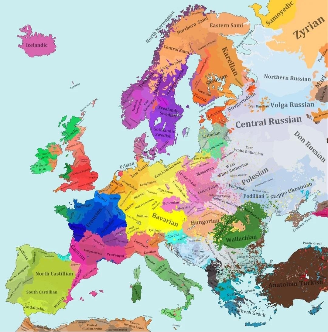 Europe linguistic map 1815
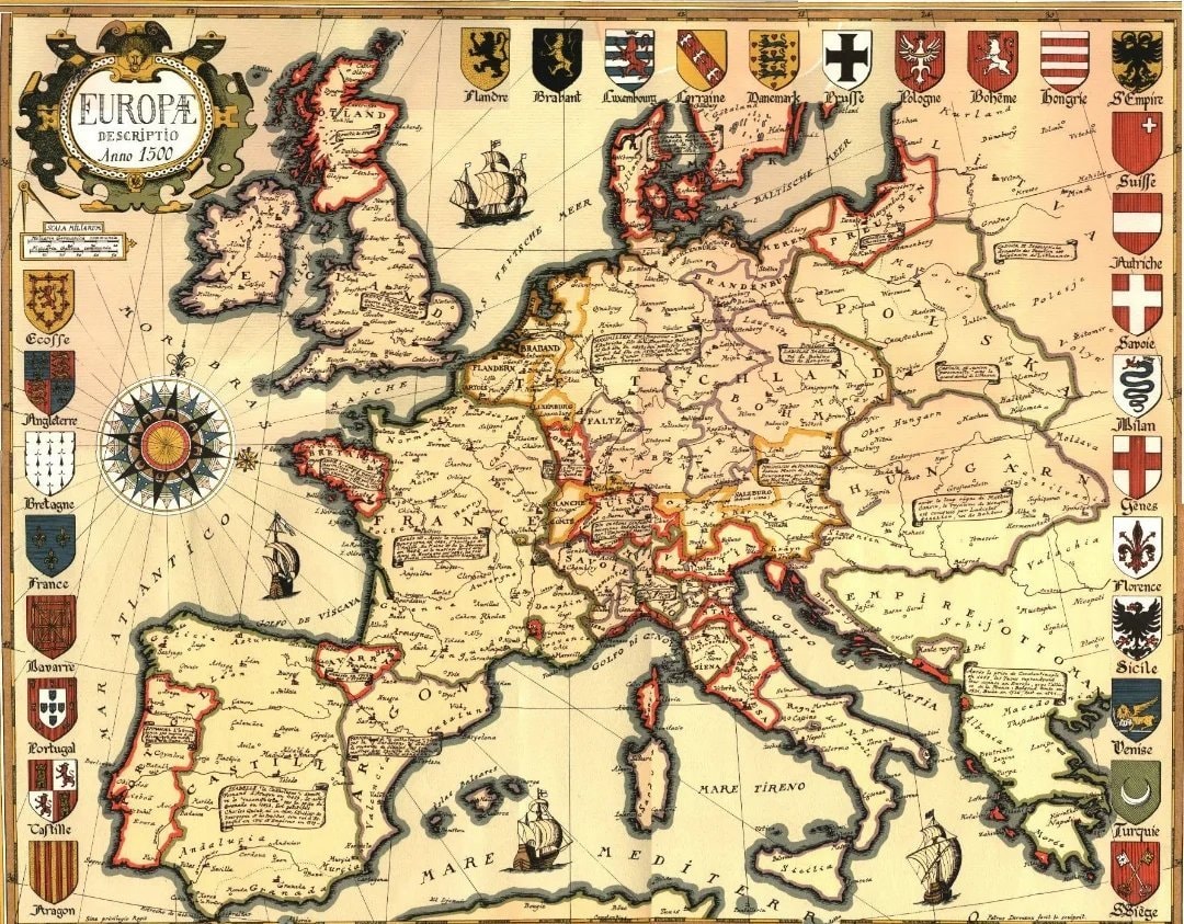 Europe around 1500
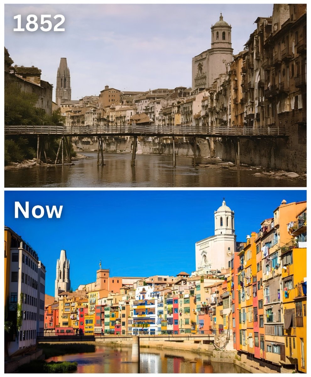 Girona 1852 vs Now
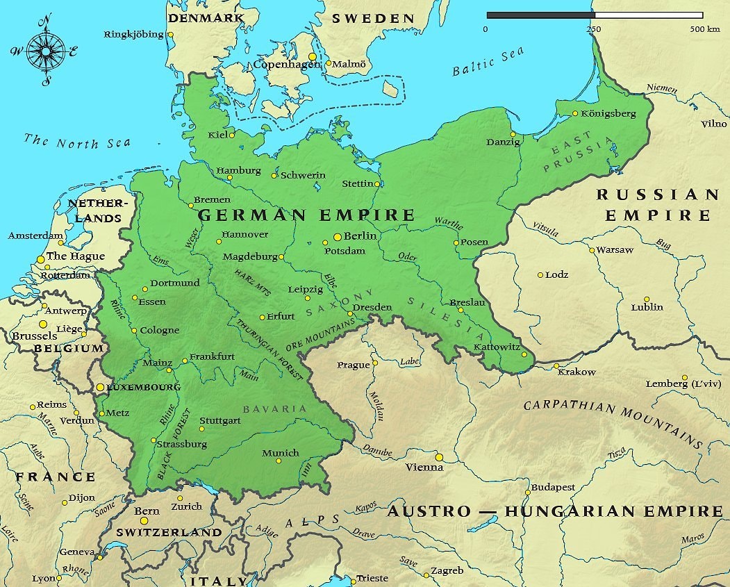 German Empire 1914 map
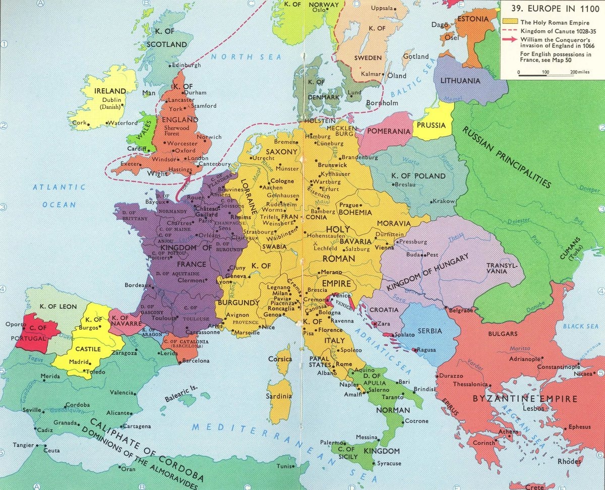 Europe in 1100
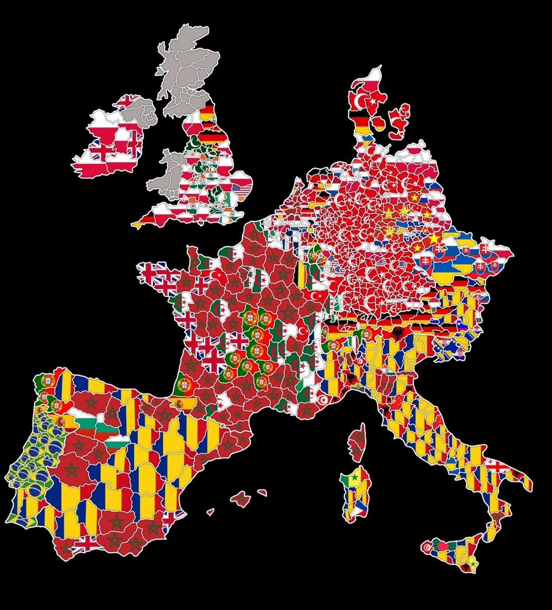 foreign origin groups by region in Western Europe
@taikiIs 1505 actually the right year for Europe
View original postPhoto by @taiki· Oct 15, 2026· History
The image is a historical map of Europe in A.D. 1505. It displays various kingdoms, duchies, and khanates with different colored borders and labels. The map includes a key to identify different political entities and geographical features like oceans and seas. The overall style is informative and educational, resembling a textbook illustration. A notable detail is the extensive territory of the Ottoman Sultanate and Muscovite Rus'. The title "EUROPE • A.D. 1505 •" is prominently displayed at the top.
EEA identity cards comparedEurope vs Africa air traffic comparisonnearest country to the U.S.Pornstars per million inhabitants in Europe2Harry Potter and the Sorcerer's Stone sales datafamous foods across EuropeUS climate match mapUgliest license plate in AmericaEurope video game map based on development country2Mosques in Germany vs Churches in Saudi Arabiaus population distribution by countiesCharles the Great Europe 768-814Europe linguistic map 1815Europe around 1500Girona 1852 vs NowGerman Empire 1914 mapEurope in 1100foreign origin groups by region in Western Europe