
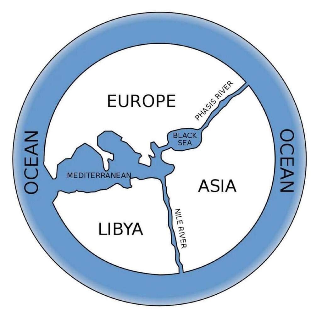
@taikiAnaximander of Miletus drew the first Greek world map back in the 6th century BC
View original post@taikiAnaximander of Miletus drew the first Greek world map back in the 6th century BC
View original postPhoto by @taiki· Sep 28, 2026· History
The image is a diagram of a flat Earth model. It shows continents labeled Europe, Asia, Libya, and the Mediterranean Sea. The entire world is surrounded by a large body of water labeled Ocean. Rivers are marked as Phasis River and Nile River. The style is illustrative and educational.
@taikiAnaximander of Miletus drew the first Greek world map back in the 6th century BC
View original postPhoto by @taiki· Sep 28, 2026· History
The image is a diagram of a flat Earth model. It shows continents labeled Europe, Asia, Libya, and the Mediterranean Sea. The entire world is surrounded by a large body of water labeled Ocean. Rivers are marked as Phasis River and Nile River. The style is illustrative and educational.
No comments yet. Be the first!
No comments yet. Be the first!