iFANN
    Search iFANN...
    Log in
    Home
    News
    Videos
    Photos
    GIFs
    Explore
    Polls
    Awards
    iFAMOUS
    Wiki
    Anime
    Rooms
    Notifications
    Messages
    Bookmarks
    Profile
    WikiAwardsiFAMOUSRankingsIndustriesCreator RewardsUser RewardsTermsPrivacyCommunity GuidelinesTakedown / DMCAHelpDevelopers

    © 2026 iFANN

    Home
    Search
    Messages
    Alerts
    Profile
    Photo
    Savage Updates
    Savage Updates@savageupdates2d
    🌍Bolivia💭Info/Editorials
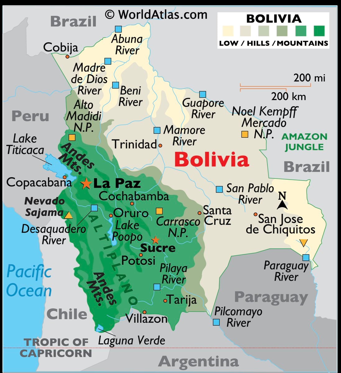
    Bolivia map and facts

    @savageupdatesBro Bolivia got the map treatment with the actual facts to match #Bolivia #InfoEditorials

    View original post

    Bolivia map and facts

    Photo by @savageupdates· Sep 18, 2026· Bolivia

    About this photo

    The image is a map of Bolivia. It shows major cities, rivers, mountain ranges, and bordering countries. The map uses color coding to indicate elevation, with green representing lowlands and darker greens and browns indicating hills and mountains. The overall style is informative and cartographic. A notable detail is the "TROPIC OF CAPRICORN" line shown across the southern part of the map. The text "WorldAtlas.com" is visible in the upper center of the image.

    See all Bolivia photos

    ?

    No comments yet. Be the first!

    More Bolivia photos

    See all Bolivia photos
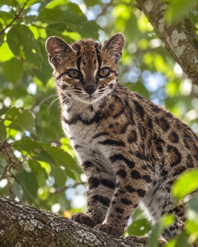
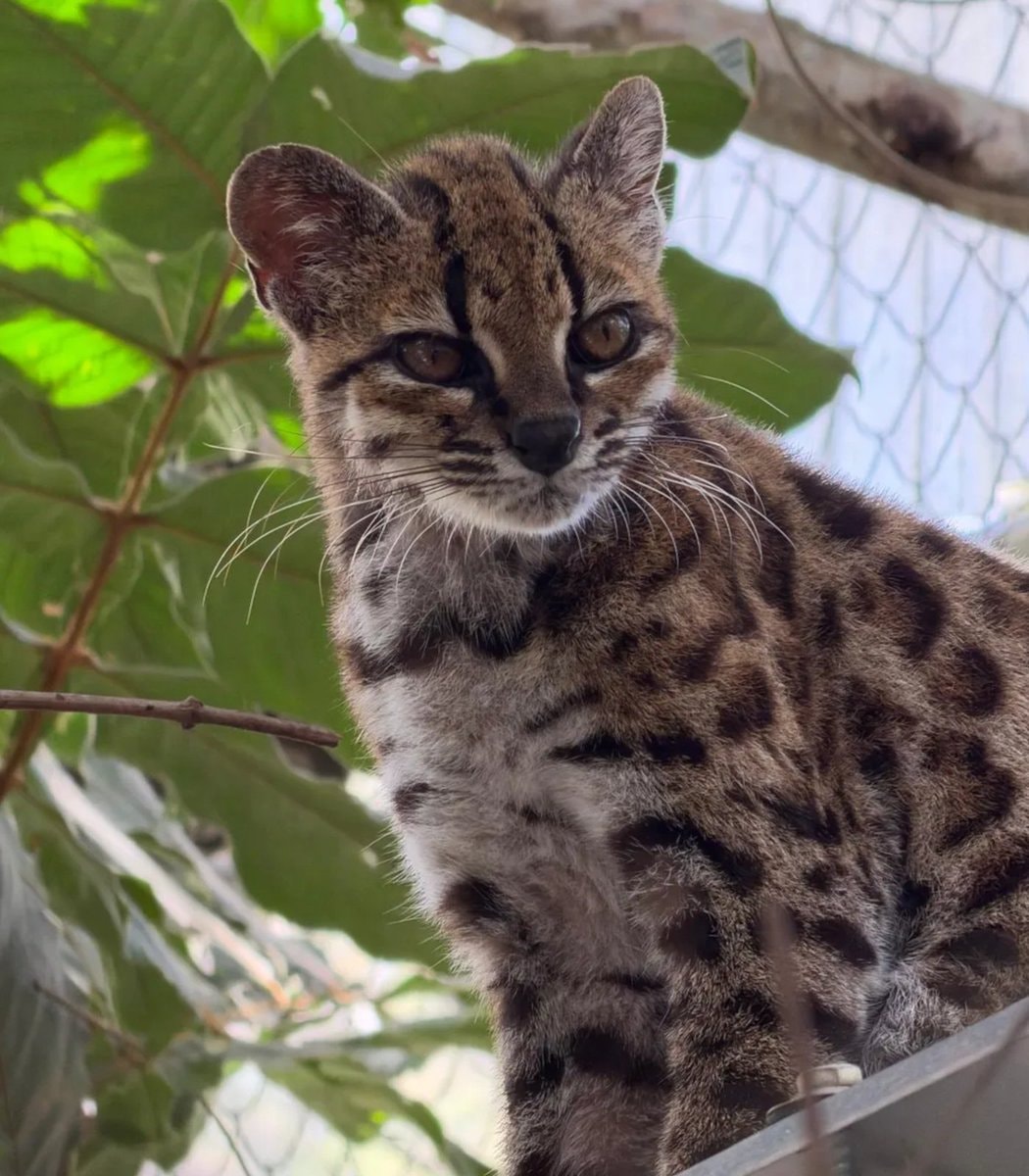
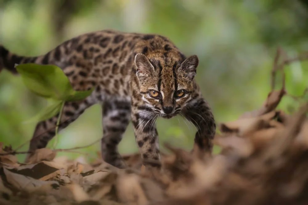
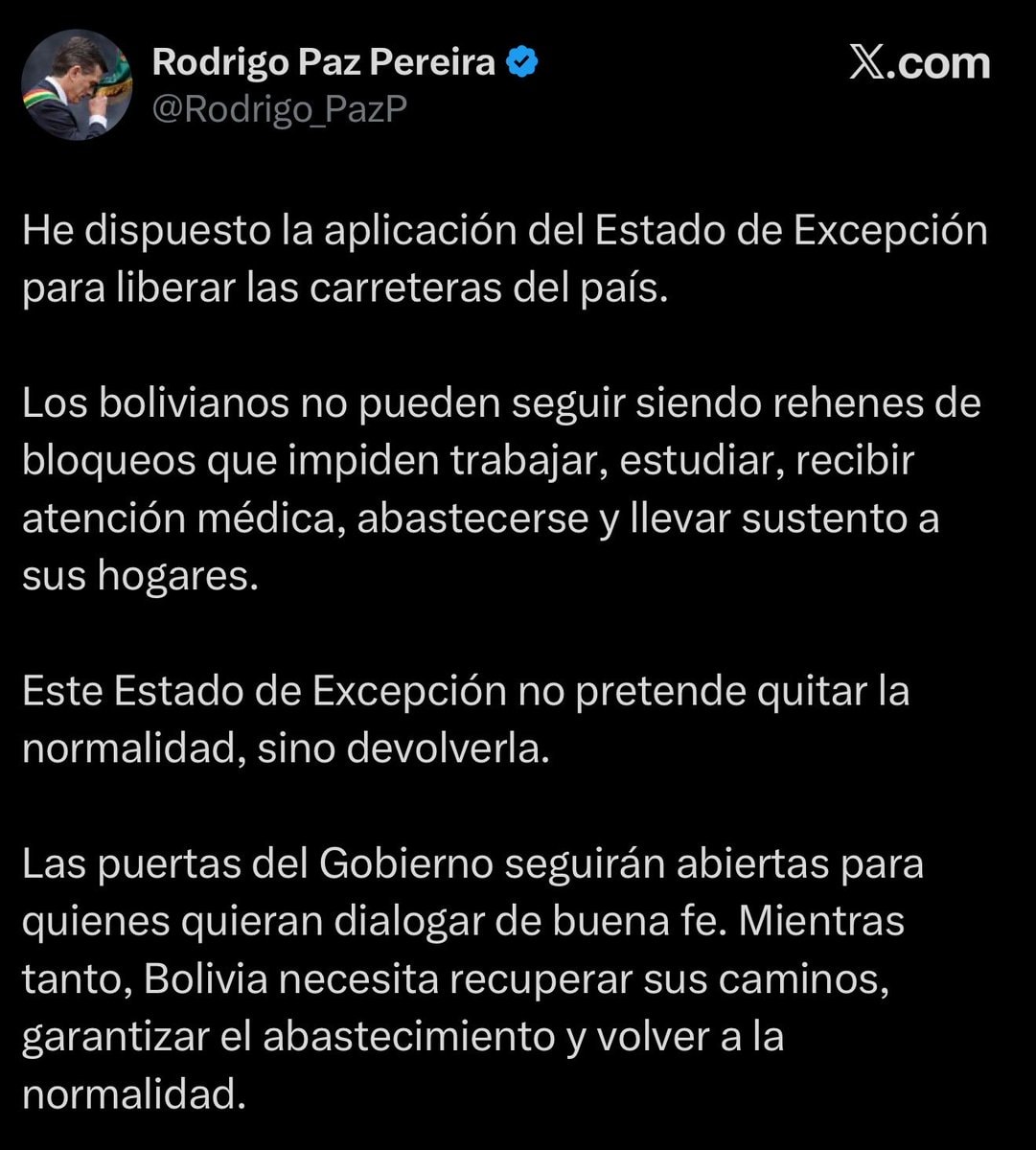
    Leopardus tilcayo spotted in BoliviaLeopardus tilcayo spotted in BoliviaTilcayo Tiger Cat discovered2Tilcayo Tiger Cat discoveredTilcayo Cat discovery in BoliviaTilcayo Cat discovery in BoliviaBolivia declares state of exceptionBolivia declares state of exceptionGustavo Petro on Bolivia crisisGustavo Petro on Bolivia crisis
    Photo
    Savage Updates
    Savage Updates@savageupdates2d
    🌍Bolivia💭Info/Editorials
    Bolivia map and facts

    @savageupdatesBro Bolivia got the map treatment with the actual facts to match #Bolivia #InfoEditorials

    View original post

    Bolivia map and facts

    Photo by @savageupdates· Sep 18, 2026· Bolivia

    About this photo

    The image is a map of Bolivia. It shows major cities, rivers, mountain ranges, and bordering countries. The map uses color coding to indicate elevation, with green representing lowlands and darker greens and browns indicating hills and mountains. The overall style is informative and cartographic. A notable detail is the "TROPIC OF CAPRICORN" line shown across the southern part of the map. The text "WorldAtlas.com" is visible in the upper center of the image.

    See all Bolivia photos

    ?

    No comments yet. Be the first!

    More Bolivia photos

    See all Bolivia photos
    Leopardus tilcayo spotted in BoliviaLeopardus tilcayo spotted in BoliviaTilcayo Tiger Cat discovered2Tilcayo Tiger Cat discoveredTilcayo Cat discovery in BoliviaTilcayo Cat discovery in BoliviaBolivia declares state of exceptionBolivia declares state of exceptionGustavo Petro on Bolivia crisisGustavo Petro on Bolivia crisis