
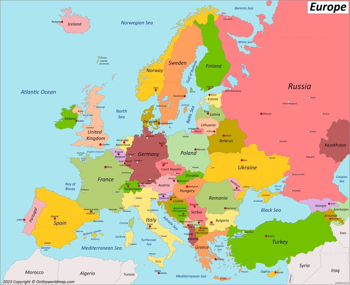
@savageupdatesMap of Europe 🇪🇺
View original post@savageupdatesMap of Europe 🇪🇺
View original postPhoto by @savageupdates· Aug 31, 2026· Info/Editorials
The image is a colorful political map of Europe. It shows country borders, major cities, and bodies of water. The style is cartographic and educational. A watermark "Ontheworldmap.com" is visible in the lower right corner, and "2023 Copyright © Ontheworldmap.com" is in the lower left.
 World map country sizes
 2Numbeo affordable cities 2026
 main European regions map
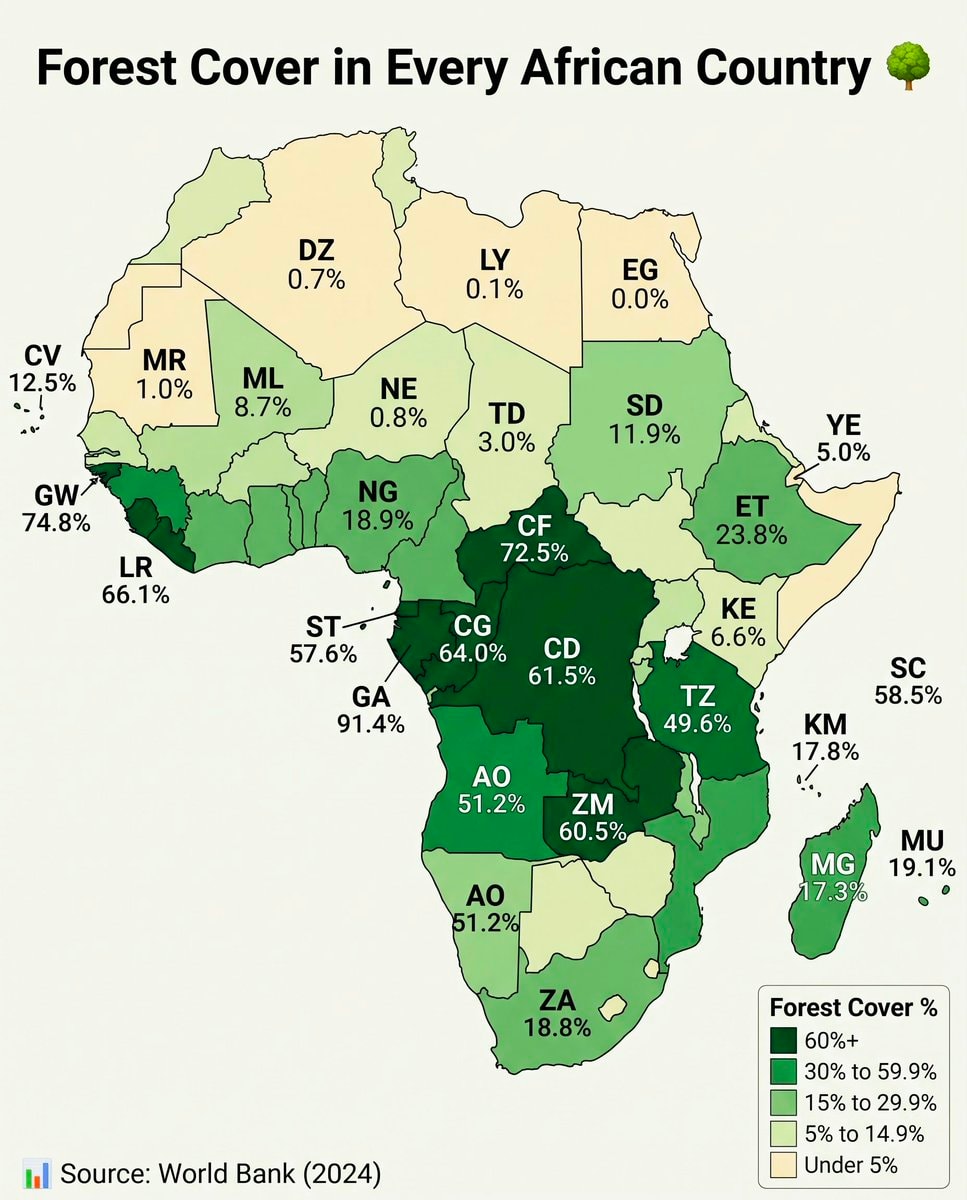 Africa forest cover by country
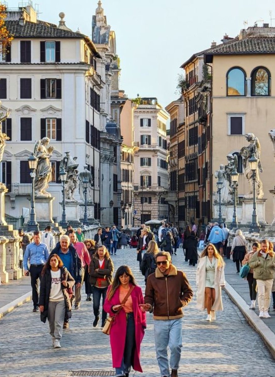 2Rome Italy most walkable city
 Asian Country Urban Population Map
 2Global Nuclear Power Capacity 2025
 US State population under 25 share
 2Lionel Messi jersey stars
 Poland 17th century vs today map
 Immigrant population map by state
 Tallest men by U.S. state map
 US climate zones by location
@savageupdatesMap of Europe 🇪🇺
View original postPhoto by @savageupdates· Aug 31, 2026· Info/Editorials
The image is a colorful political map of Europe. It shows country borders, major cities, and bodies of water. The style is cartographic and educational. A watermark "Ontheworldmap.com" is visible in the lower right corner, and "2023 Copyright © Ontheworldmap.com" is in the lower left.
No comments yet. Be the first!
World map country sizes2Numbeo affordable cities 2026main European regions mapAfrica forest cover by country2Rome Italy most walkable cityAsian Country Urban Population Map2Global Nuclear Power Capacity 2025US State population under 25 share2Lionel Messi jersey starsPoland 17th century vs today mapImmigrant population map by stateTallest men by U.S. state mapUS climate zones by location
No comments yet. Be the first!